
Environmental
Advanced platforms for environmental monitoring, impact modelling, ecological analysis, and collaborative data collection, enabling organisations to understand, protect, and manage natural and maritime environments, all powered by Riskaware.
AREAS OF EXPERTISE
Environmental
Satellite monitoring, spill modelling and community data collection that show what is happening in our rivers and at sea — early enough to act on.
Why organisations trust us here
Operational credibility, validated science, and proven results.
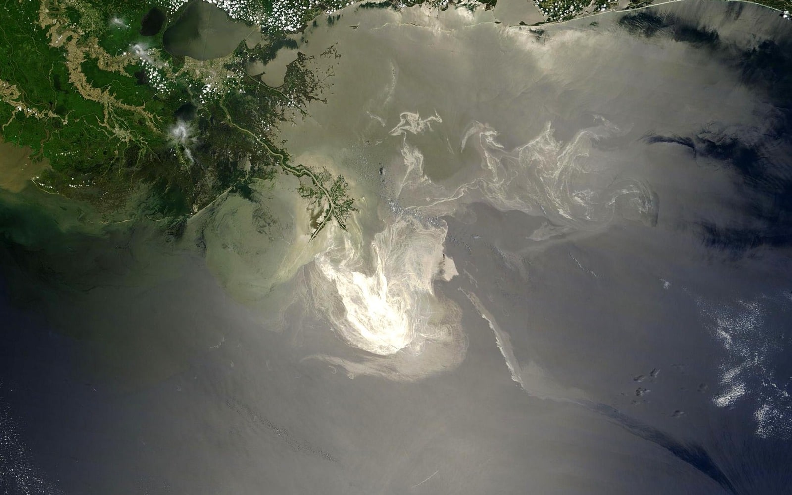
Most spills are never reported
Just 474 of more than 90,000 oil slicks from ships worldwide were reported to authorities over a five-year period. Satellite monitoring closes that gap.
Warning before the spill
We model the outcome of potential incidents in advance, so contingency plans are built on evidence rather than assumption.
Fully automated modelling
Built with the people on the ground
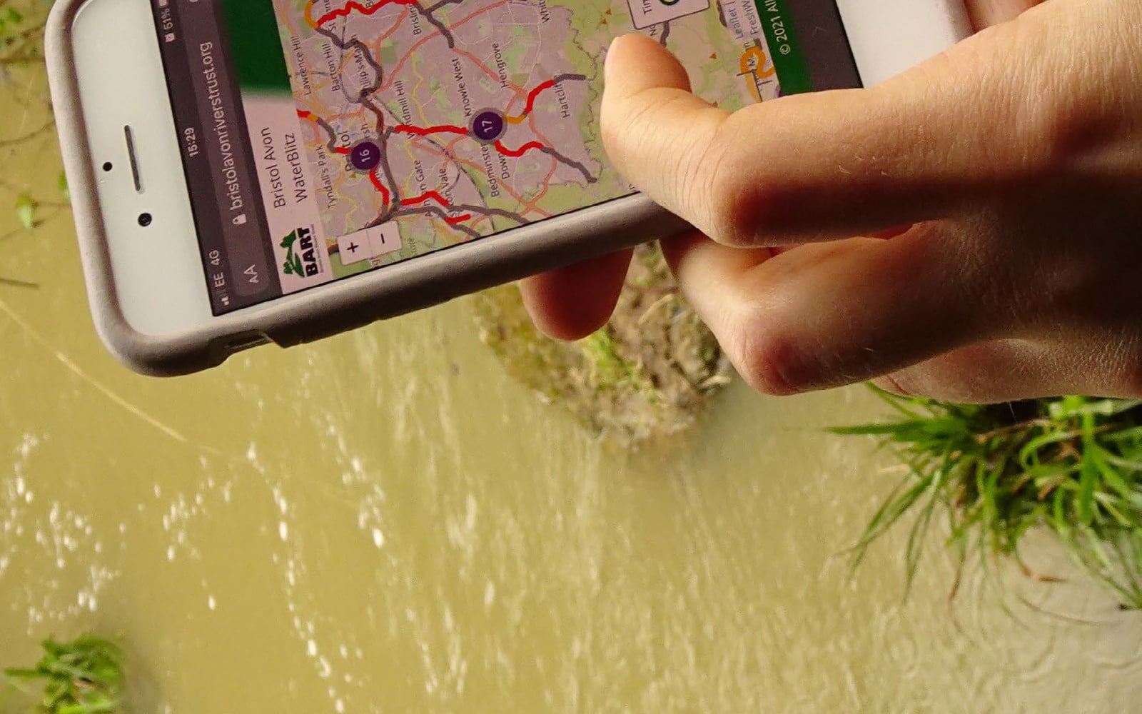
River trusts use Congregate to organise volunteers and collect consistent data across an entire catchment.
THE DECISION CYCLE
01
02
03
04
MarineAware Operations · Unreported spills: MarineAware Response · Catchment-scale data collection: Congregate
Operational use-cases
Real situations, from the challenge to the outcome.
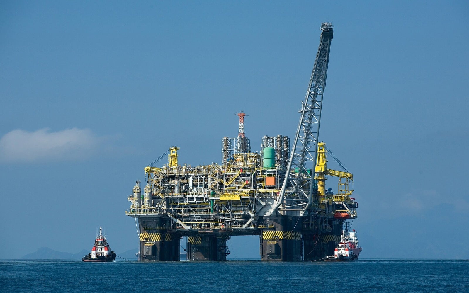
Contingency planning
MarineAware Operations: Modelling a spill before it happens
THE OUTCOME
Contingency plans rest on modelled evidence rather than assumption, and operators can meet spill modelling requirements in tenders without building a modelling team.
Products used: MarineAware Operations
Detection & response
MarineAware Response: Finding the spill nobody reported
THE OUTCOME
Spills are detected while there is still sea room to respond, and the source can be identified.
Products used: MarineAware Response
Environmental data collection
Congregate: Monitoring a river catchment with volunteers
THE OUTCOME
River trusts hold consistent, mapped data across an entire catchment, collected by the community.
Products used: Congregate
Products in Environmental
Select a product for full detail, specifications and downloads.
Congregate
MarineAware Response
Predictive maritime incident modelling
MarineAware Operations
Modelling a spill before it happens
Ready to see Environmental in action?
Talk to the team about your operational requirements.