
POWERED BY RISKAWARE
UrbanAware
Urban CBRN and HazMat incident response
CBRN · PRODUCT
UrbanAware
Urban CBRN and HazMat incident response
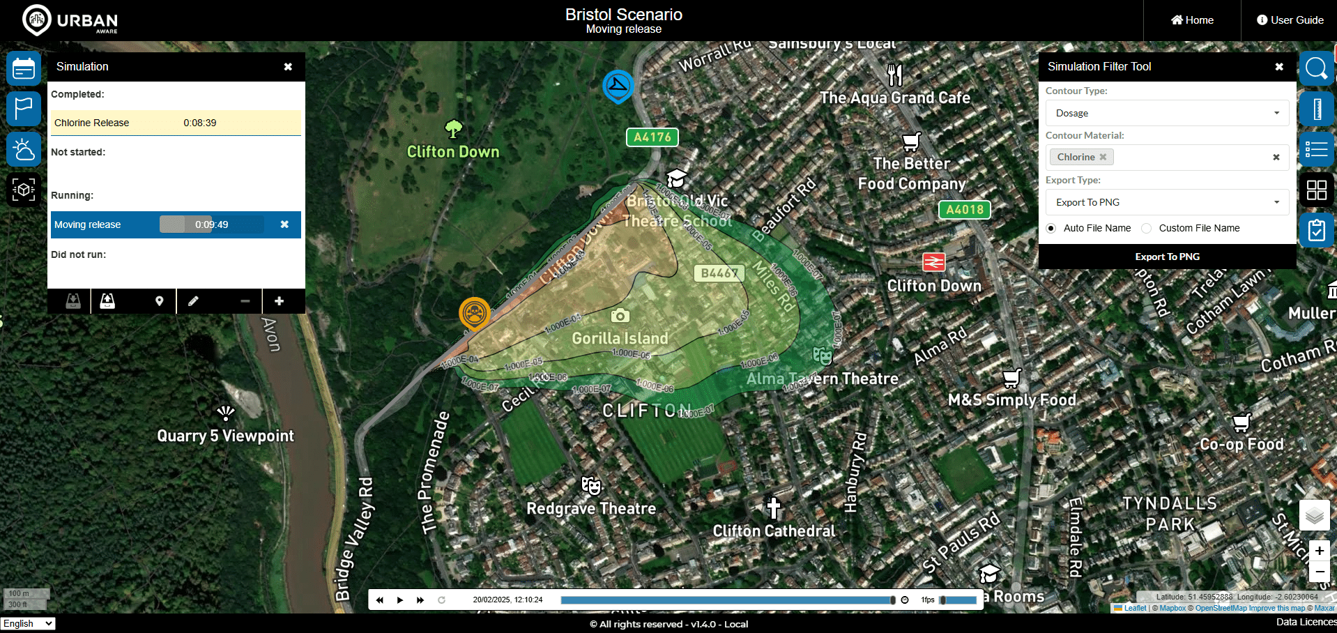
UrbanAware is a next-generation situational awareness and decision-support tool for fire and rescue services, HazMat teams, civil protection agencies and local government. Built for urban CBRN and HazMat incidents, it combines dispersion forecasting, live population data and high-resolution satellite imagery into one shared picture — helping responders place cordons, plan evacuation routes and protect the public in the first critical minutes.
Key Capabilities
Indoor and outdoor dispersion forecasting
Automated cordon advice
Evacuation route planning
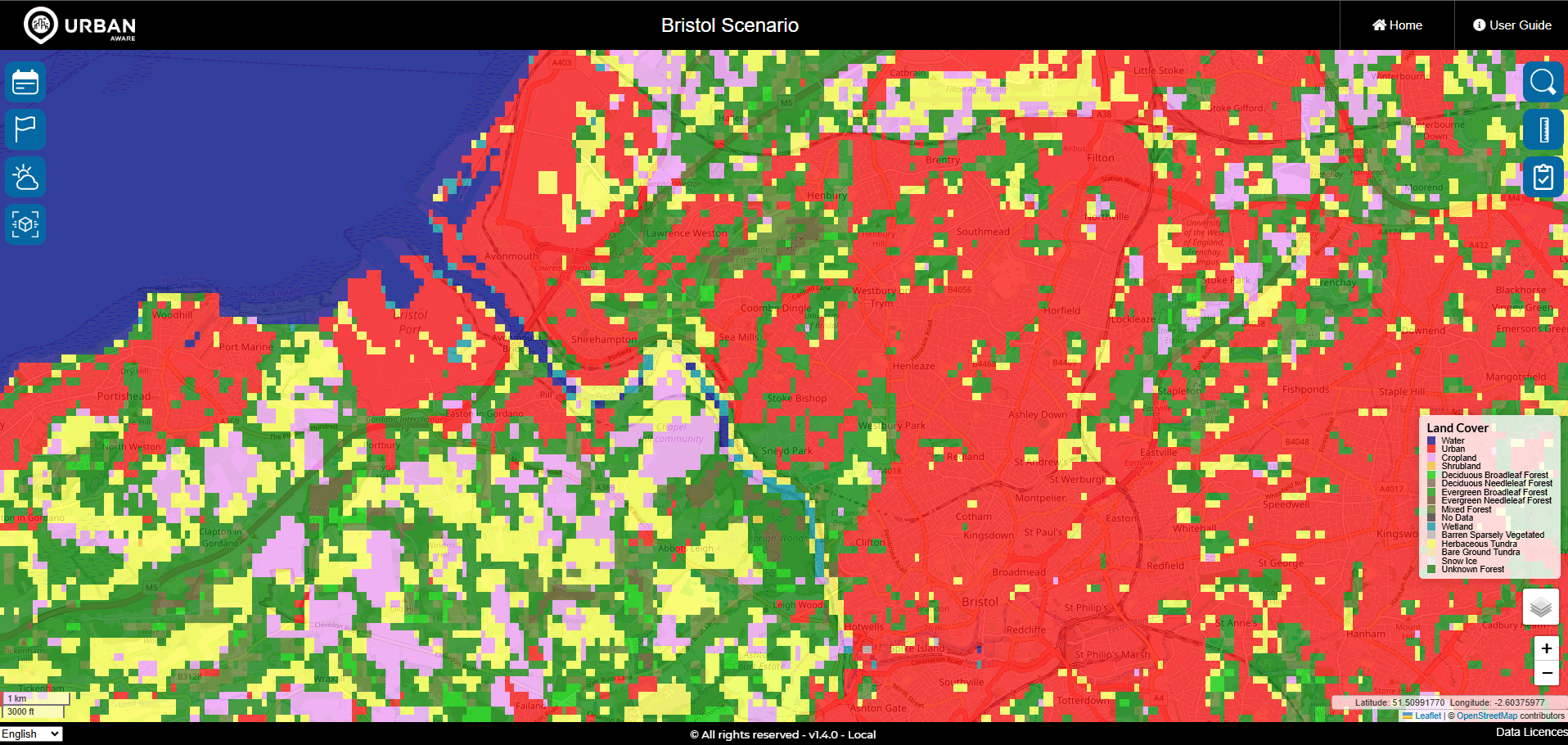
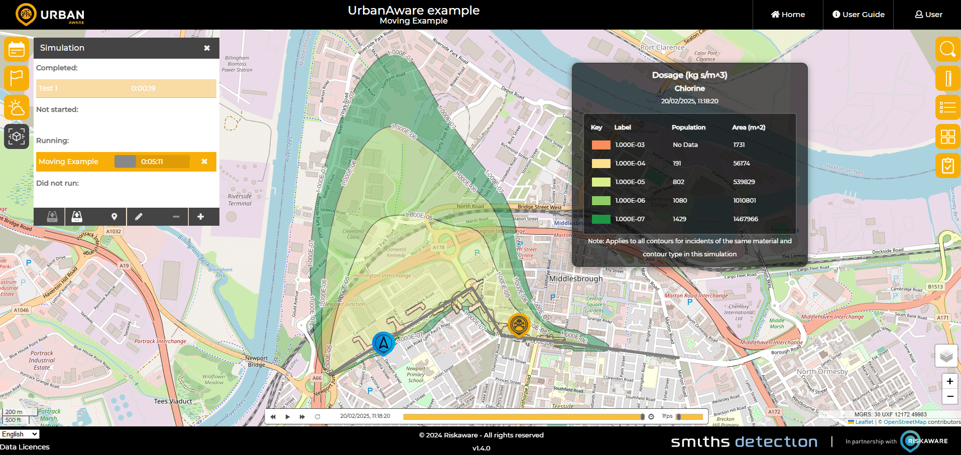
Population and casualty estimates
Critical infrastructure awareness
One picture, every agency
High-resolution satellite imagery, hazard forecasts and operational data combine into a single shared view — so fire and rescue, police, ambulance and local government are working from the same information at the same time.
In the field
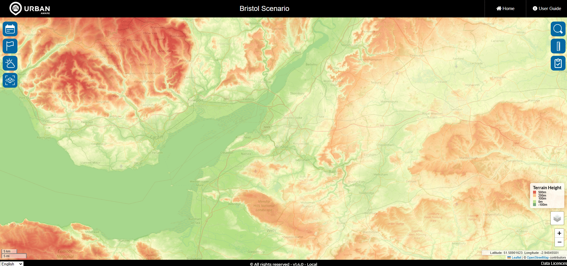
A chemical release is reported in a city centre. Within minutes, responders need answers to questions that change by the second: which way is the plume travelling, which streets and buildings are affected, where should the cordon go, and how many people may be inside it. UrbanAware brings hazard forecasting, population density, critical infrastructure and satellite imagery into a single shared picture — indoors as well as outdoors. Fire and rescue, HazMat teams, police and local government work from the same view, with cordon advice and evacuation routing that update as conditions change.
Standards & interoperability
More in CBRN
RADIATE
Nuclear safety case modelling
SCIM®
Plug-and-play sensor integration
CBRN-Analysis NG
CBRNe situational awareness