
POWERED BY RISKAWARE
MarineAware Response
Continuous satellite detection and maritime oil spill response
ENVIRONMENTAL · PRODUCT
MarineAware Response
Continuous satellite detection and maritime oil spill response
MarineAware Response is a web-based platform for detecting, monitoring and responding to maritime oil spills. Combining high-resolution satellite imagery with integrated trajectory and source modelling, it provides early warning of potential spills and the intelligence needed to understand their spread, investigate their source and inform an effective response. The need is significant: research published in Science found that just 474 of more than 90,000 oil slicks from ships worldwide were reported to authorities over a five-year period.
MarineAware Response is for detecting spills you don't yet know about. To manage a known risk such as a wreck or salvage operation, see MarineAware Operations.
Key Capabilities
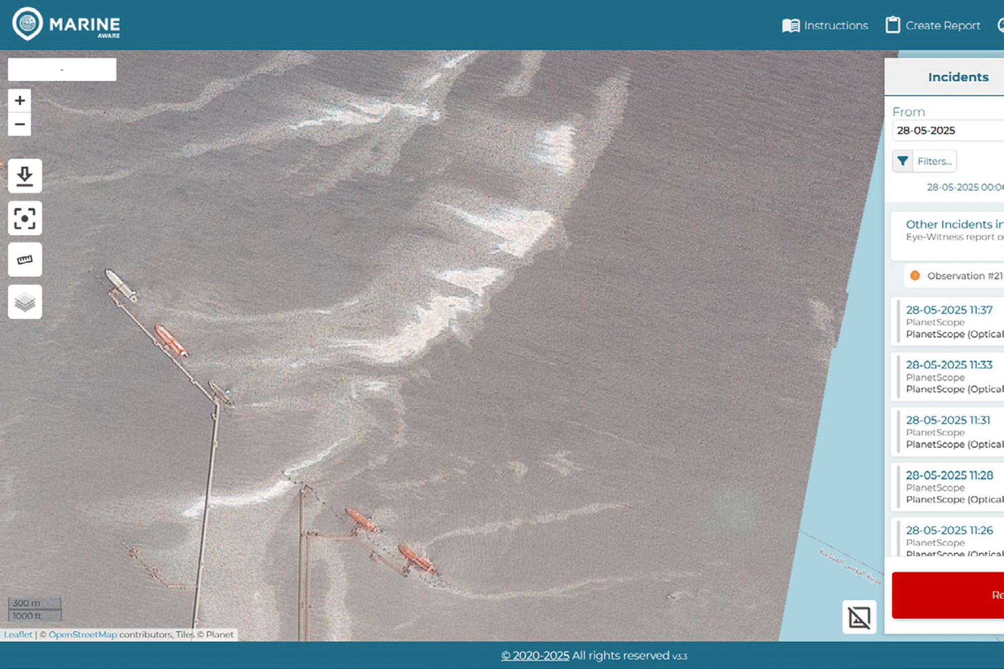
Continuous satellite monitoring
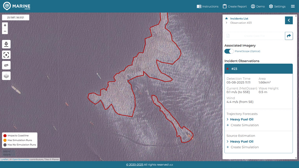
Monitor large maritime areas using a continuous feed of satellite imagery from multiple constellations, providing global coverage and advance warning of potential oil spills.
High-resolution spill detection
Use optical imagery at resolutions of up to three metres to identify even small oil spills, supported by radar imagery for continued monitoring through cloud cover.
Oil spill trajectory modelling
Simulate identified spills to predict oil trajectory and dispersion, helping response teams understand how an incident could develop and where impacts may occur.
72-hour forecasting
Model the potential movement of an observed oil spill up to 72 hours ahead, supporting proactive planning and more effective allocation of response resources.
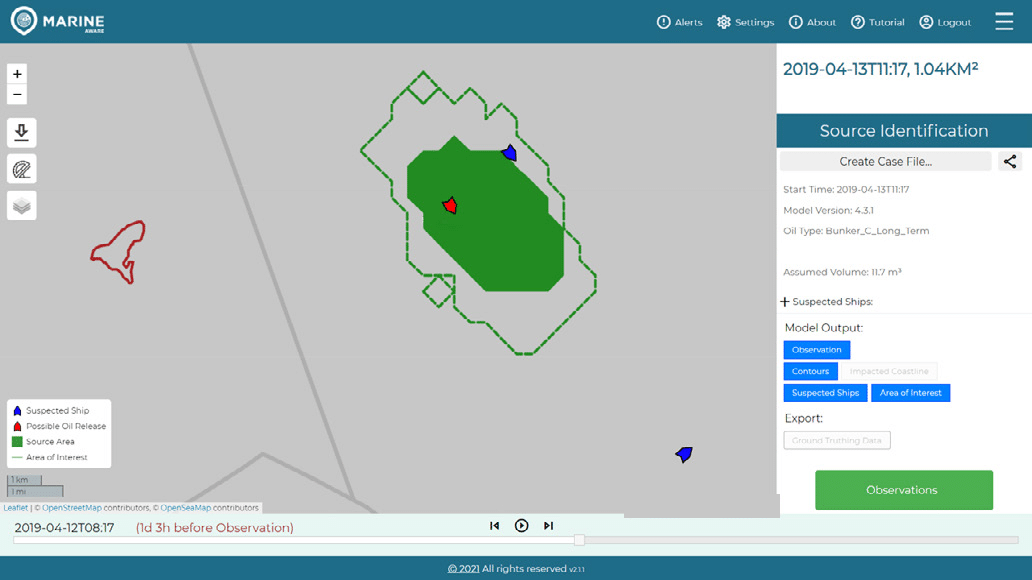
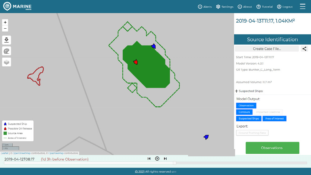
Source identification
Combine AIS ship-tracking information with source estimation modelling to investigate nearby shipping activity and help identify the potential source of a spill.
Managed monitoring service
Choose between direct access through a software subscription or a managed service with expert monitoring, daily reporting and dedicated support when a spill is identified.
In the field
Most oil spills are never reported. They are either detected — or they are not. Off the coast of Johor, MarineAware Response identified an oil spill 11 km offshore in satellite imagery and alerted the authorities. Like the overwhelming majority of spills, it had not been reported by anyone at sea. MarineAware Response is used by governments, ports and infrastructure operators to protect maritime and coastal assets, either as a subscription for teams monitoring their own waters, or as a managed service with daily reporting and expert support when a spill is found.
Detection & response
Daily satellite monitoring — optical and radar imagery across large maritime areas
3-metre resolution — detects small spills; radar continues through cloud cover
72-hour forecasting — trajectory and dispersion modelling of a detected spill
AIS source identification — ship tracking and source estimation to identify the origin
Related products
MarineAware Operations
Marine planning, readiness and operational risk management
Congregate
Environmental crowdsourcing, data collection and analysis
UrbanAware
Optimise real-time decision making with superior situational awareness.